A study in California has found ‘crash alerts’ are posted on Google’s community-based traffic and navigation app Waze an average two minutes and 41 seconds sooner a corresponding 911 call.
The difference could “mean the difference between life and death” said researchers at the University of California who conducted the study, Crowdsourced Traffic Data as an Emerging Tool to Monitor Car Crashes, published today.
According to the study, done in collaboration with the California Highway Patrol and Google, it takes emergency medical service (EMS) units such as fire appliances and ambulances an average of seven to 14 minutes to arrive at the scene of a collision after a 911 call.
"Crowdsourced traffic data might help to cut that time by as much as 60 per cent," said one of the study’s authors Bharath Chakravarthy, from the UCI School of Medicine, Department of Emergency Medicine.
The research found that data drawn from the app were “highly correlated” with conventional reporting data such as 911 calls. Using the crowdsourced app data to scramble emergency services sooner could reduce mortality rates among crash victims and improving efficiency around emergency department operations, the researchers said.
"The potential is game-changing. Trauma surgeons could be notified earlier, diagnostic testing could be prioritized for crash victims, and blood and other life-saving equipment could be made available sooner," said Chakravarthy.
"These pre-hospital and hospital level resources, if activated sooner, could aid in increasing quality and rapidity of patient care and potentially reduce morbidity and mortality," he added.
The study follows a number pilot projects with emergency services globally that have used Waze to reduce response times.
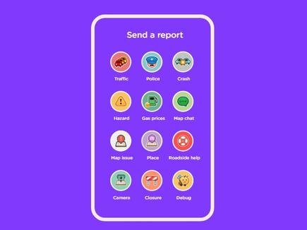
Users of Waze can report incidents as they drive, the apps geo-location feature meaning its precise location can be noted and nearby users alerted. Other drivers then click a thumbs up button when close-by to confirm the incident report, and give it a reliability score.

Last year two French, one Italian and an Austrian emergency service, integrated Waze user reports of crashes into their computer-aided dispatch systems. The app was chiefly used to more quickly locate the precise site of an incident when a caller called 112. Callers of motorway incidents often find it difficult to describe their exact location.
Another pilot with Israel’s national emergency authority, Magen David Adom, saw Waze data integrated into its live geographic information system (GIS).
MDA flagged Waze reported accidents and dispatched nearby ambulances. During a one month pilot, MDA dispatched ambulances to 300 car accidents reported through Waze; with the alerts arriving on average 15 per cent faster than other channels.

